
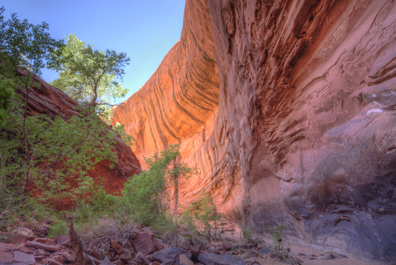
Hiking in the The Canyons of the Escalante is an amazing experience. The name Canyons of the Escalante is a collective name for the erosional landforms created by the Escalante River and its tributaries, the Escalante River Basin. Located in southern Utah in the western United States, these sandstone features include high vertical canyon walls, water pockets, narrow slot canyons, domes, pedestals, arches, and natural bridges.
This area, extends over 1500 square miles (3900 km²) and rises in elevation from 3600 feet (1100 m) to over 11,000 feet (3350 m). This is one of the three main sections of the Grand Staircase-Escalante National Monument, borders the adjacent Capitol Reef National Park, and is part of the Glen Canyon National Recreation Area. It is an increasingly popular hiking, backpacking and recreational destination in Utah's Canyon Country.
Geography of the Escalante Canyons
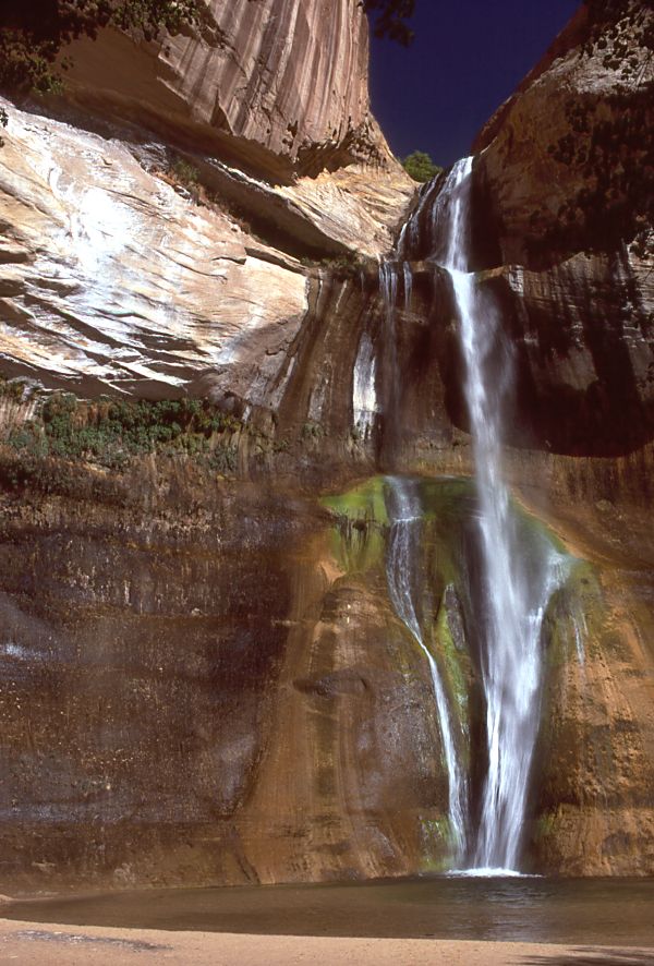
Numerous side canyons feed the main river, accounting for the large size of the basin. From the west, the major tributaries are Harris Wash, Twentyfive Mile Creek, Coyote Gulch, Fortymile Gulch, and Fiftymile Creek, along with the smaller Phipps, Fence, Scorpion, Davis, Clear, and Indian Creeks. Most of these larger creeks flow from the top of the Kaiparowits Plateau or from the base of its eastern edge, the Straight Cliffs. An even greater number of tributaries flow in from the north and east, including Death Hollow and Calf Creeks, the combined Boulder and Deer Creeks, The Gulch, Wolverine and Silver Falls Creeks, and Choprock, Moody, Stevens, and Cow Canyons. Streams from the north flow from Boulder Mountain, while those from the northeast originate in the Circle Cliffs area, near the Waterpocket Fold in Capitol Reef National Park.
The headwaters of the Escalante River are located on the slopes of the Aquarius Plateau, in Utah's Garfield County, just west of the town of Escalante. North and Birch Creeks merge to form the official start of the river and, just below the town, is joined by the flow of Pine Creek. From there the river runs southeast for over 65 miles (130 km) before meeting the Colorado River, in Kane County. The lower section of the river, southeast of Coyote Gulch, is now beneath the surface of Lake Powell.